


Description
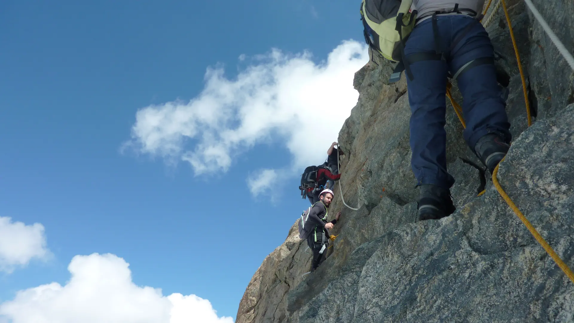
Via Cordata at Mont-Fort !
This new product adds to the existing summer offer and to showcased one of the most amazing panoramas in Europe.
Completed last summer by guides from Nendaz and Verbier, this infrastructure is fitted out with anchorage points that make it possible to reach the 3,329m summit of Mont-Fort on foot, following a path set out in the rock face and on the ridge of the glacier. The route comprises hiking trails on the Tortin and Mont-Fort glaciers together with rock-climbing sections, and is fully accessible by mountain lift from both Verbier and Nendaz. You need to allow around three hours to complete the two kilometres and 500 metres of height difference covered by this itinerary. Once you've reached the summit, you can descend by cable car or on foot after enjoying the highest fondue in Europe at the Igloo du Mont-Fort.
This sporting experience is accessible to anyone and is sure to provide big thrills; the goal is to help people explore the local mountain terrain, fauna and flora. Securing the services of a guide is strongly recommended to ensure you follow the path as safely as possible.
A second, more technical and longer itinerary runs between the small valleys of Tortin and Cleuson, taking you to Siviez via the Mont-Fort glacier and the footpath located on the left bank of the Cleuson valley. It will take you between six and eight hours to complete the eight kilometre hike.