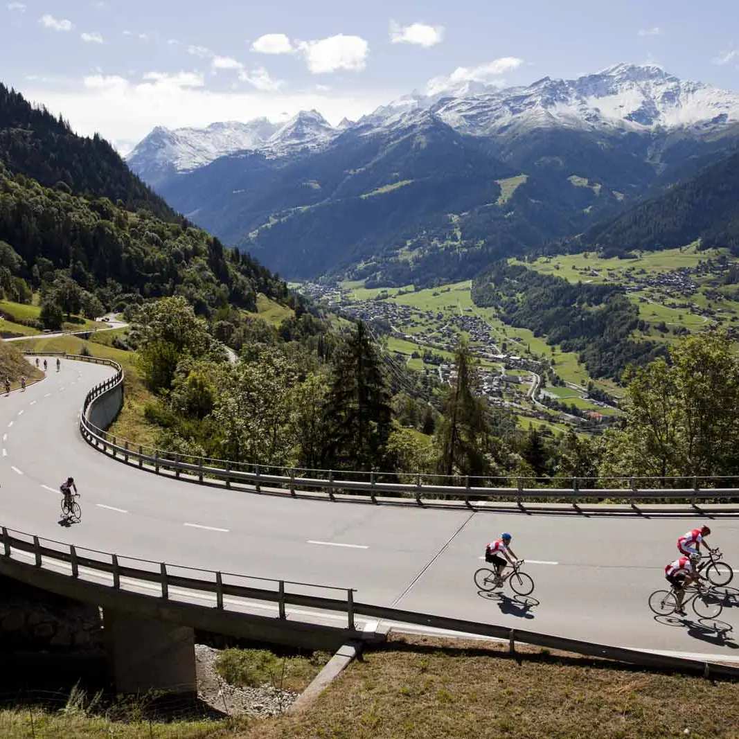
This route will allow you to savour the beauty of the Haut Val de Bagnes.
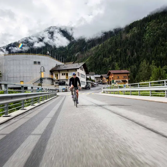
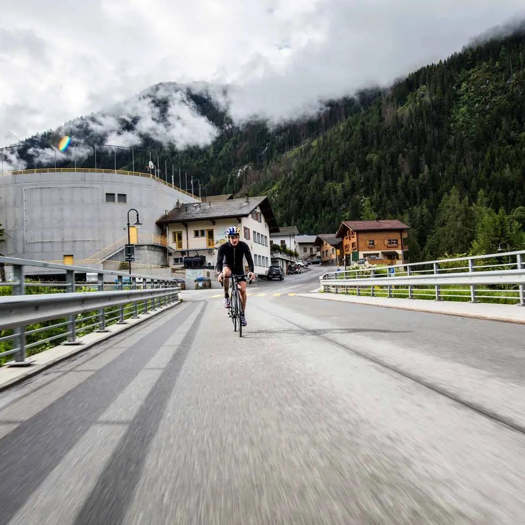
From Verbier, take a short descent on the road to the Corthay Bois sawmill, located in Verbier Village. You then leave the tarmac and take the Route du Soleil, a stony farm track that takes you to the sunny village of Sarreyer.
Take the time to contemplate the panorama, and you may be lucky enough to see the famous "Moulin de Sarreyer" in operation. Then join the cantonal road to the village of Lourtier
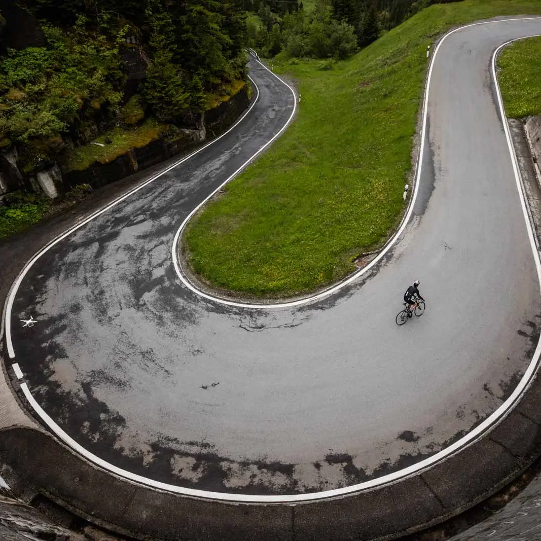
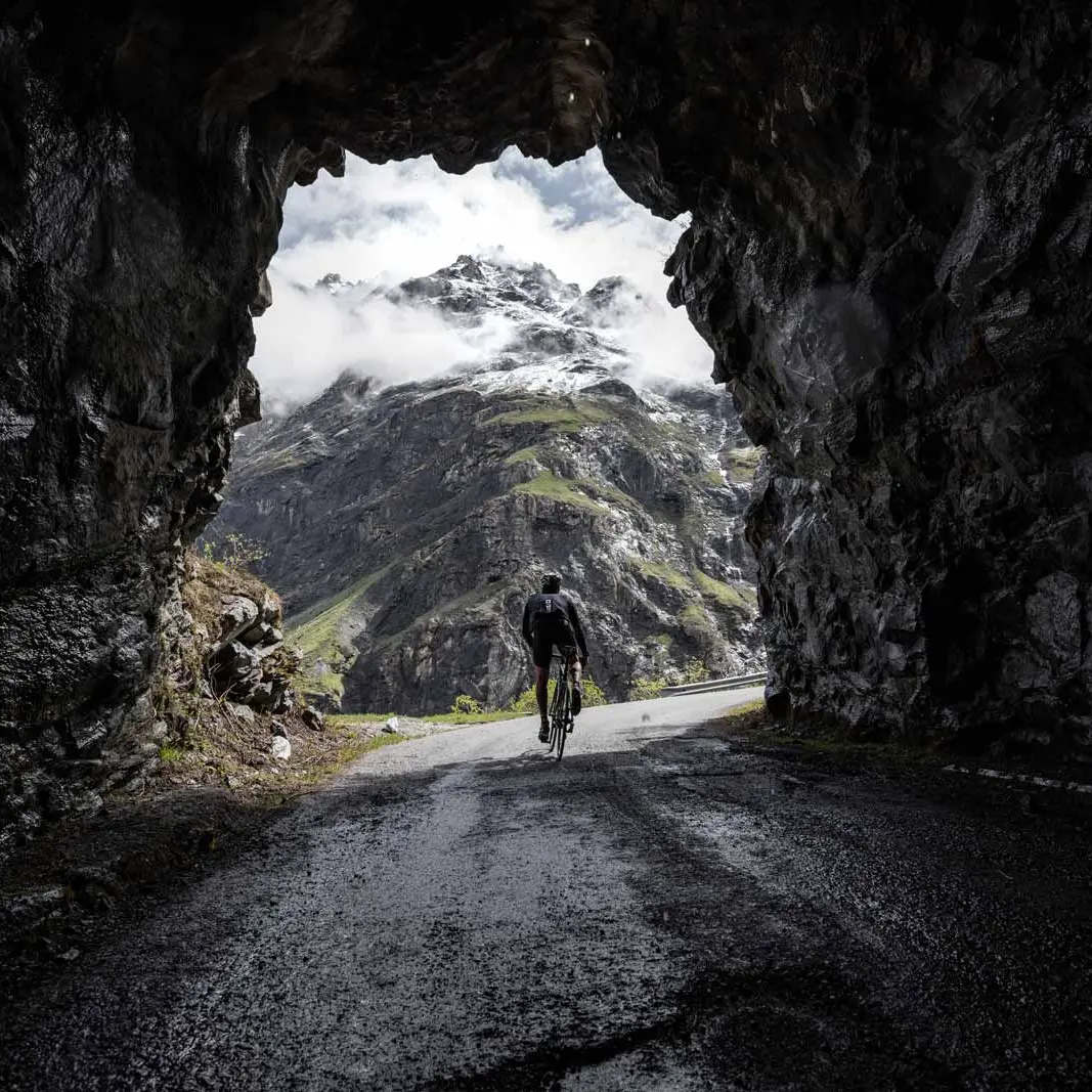
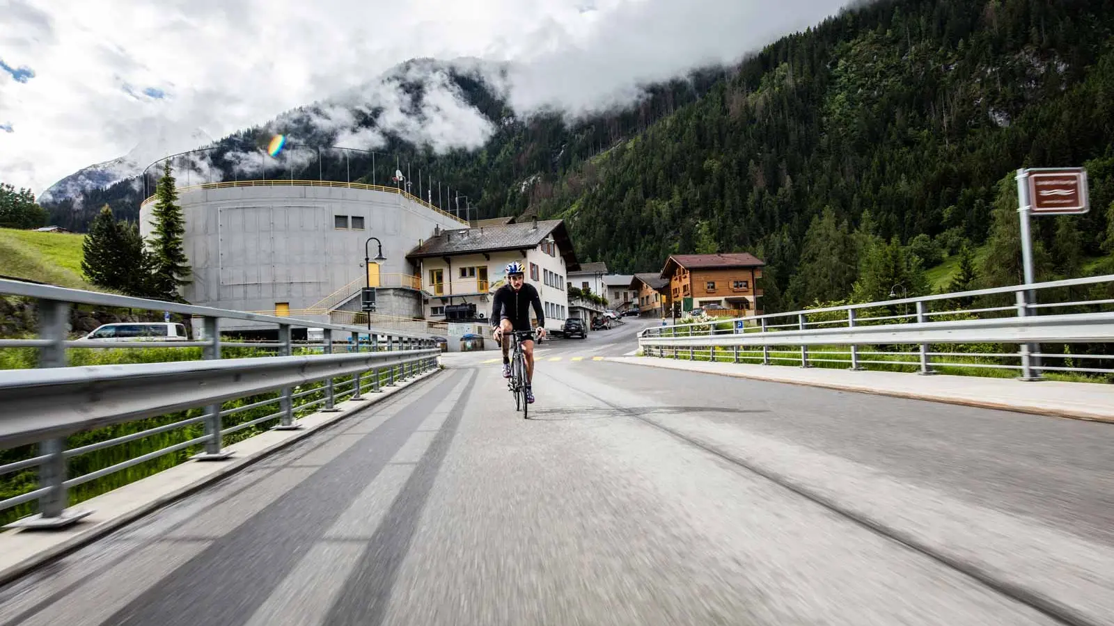
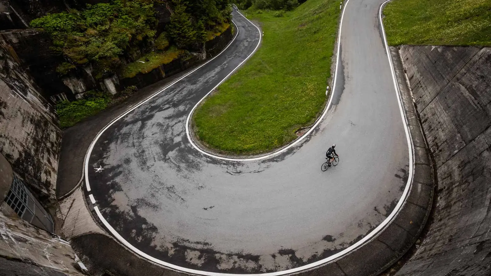
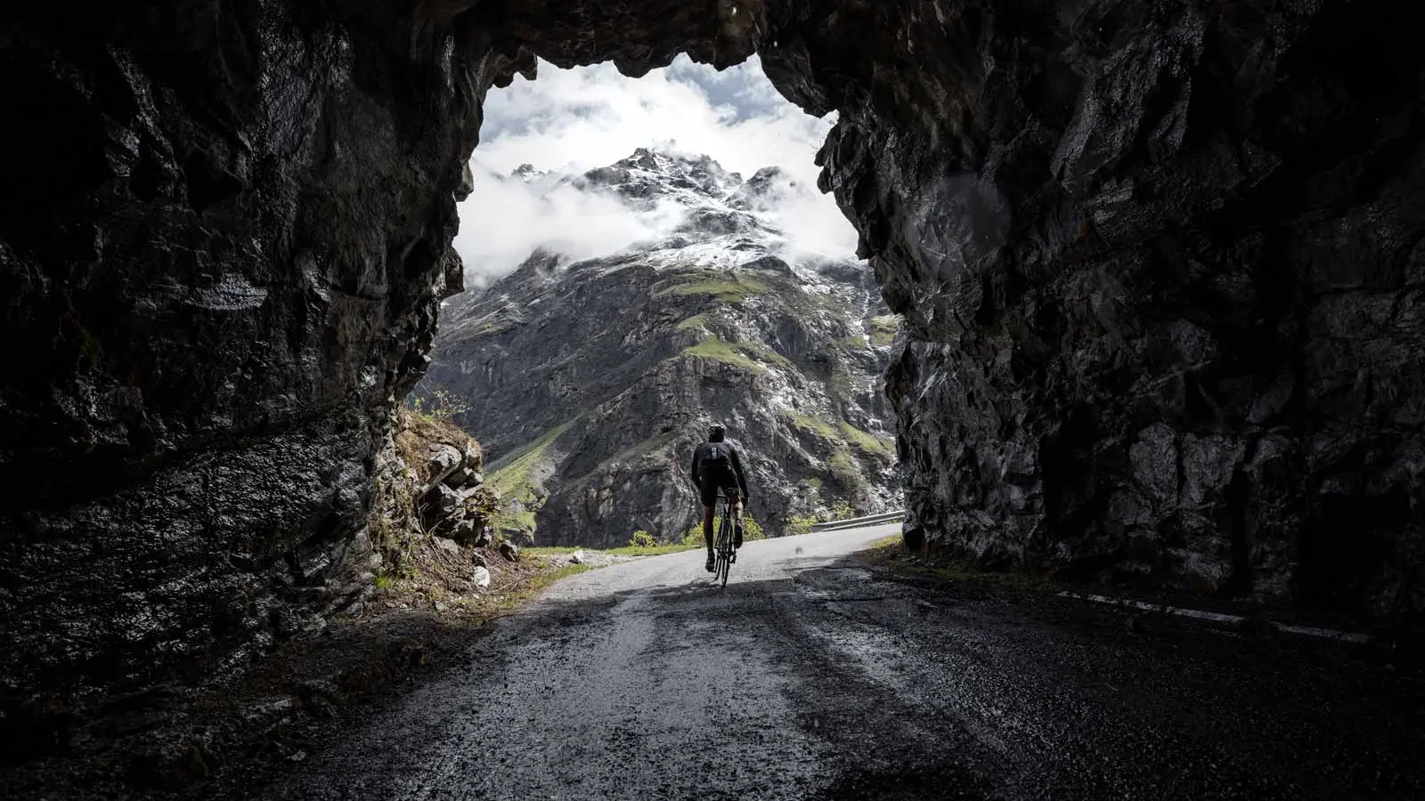
then in the direction of Fionnay. Continue towards the Mauvoisin Dam, the most courageous can reach the top of the wall to admire the panoramic view over the valley and the Mauvoisin lake. For the others, a terrace at the foot of the wall is available at the Hôtel de Mauvoisin.
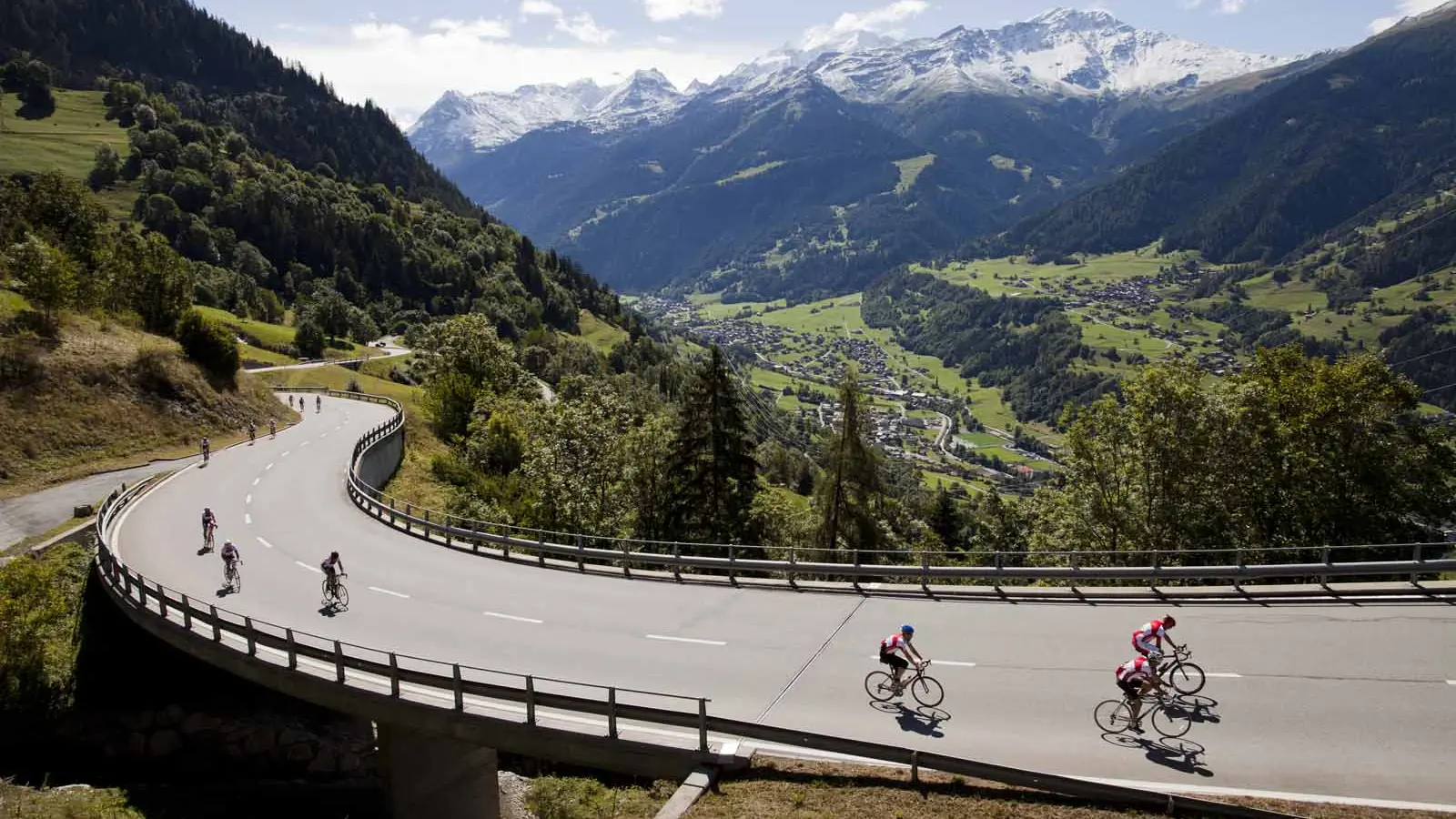
On the way down, you can stop at the restaurant de la Promenade, located in Bonatchiesse, for a last look at the imposing dam. The return journey is via the main road towards Le Châble. You will have the opportunity to cross many small villages before joining the cable car that will take you up to Verbier. During the shoulder season, you can also travel by public transport in the region. Finally, for the more adventurous, you can ride back to Verbier in the footsteps of the Tour de France, via the main road.