Aller au contenu principal
en
fr
de
Menu
La Tzoumaz | Office du Tourisme
What are you searching for ?
Discover
Activities
Find out more
Practical life
Vibrate
Events and entertainment
Getting around
Transport and mobility
Savour
Cuisine and flavours
Accommodation
Accommodation
Relaxing
Wellness
Webcams
Weather
Packages
Agenda
Home
Chôtatai
Chôtatai
Sport
Cycling sports
Mountain bike track
Elevation : 2321m
La Tzoumaz , CH-1918 La tzoumaz , Riddes
Getting there
×
Open the itinerary in
Google Maps
Apple Plans
Waze
Mappy
Share
×
Share this sheet
Chôtatai
E-mail
WhatsApp
Facebook
X
LinkedIn
Pinterest
©
Lucia Harrison
©
Lucia Harrison
©
Lucia Harrison
©
Promobike
+ 1
×
©
Lucia Harrison
©
Lucia Harrison
©
Lucia Harrison
©
Promobike
©
Promobike
Description
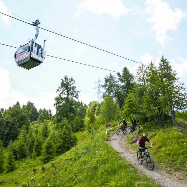
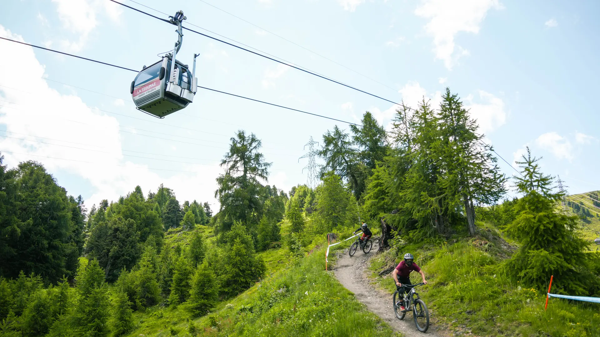
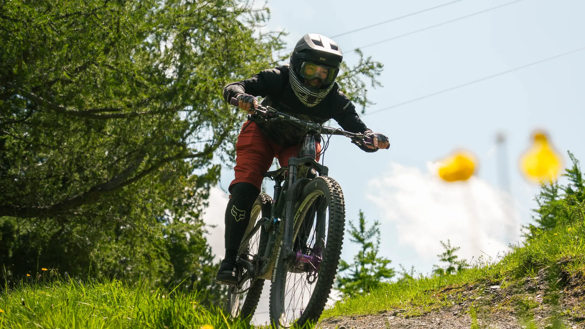
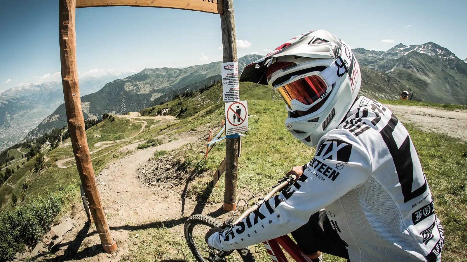
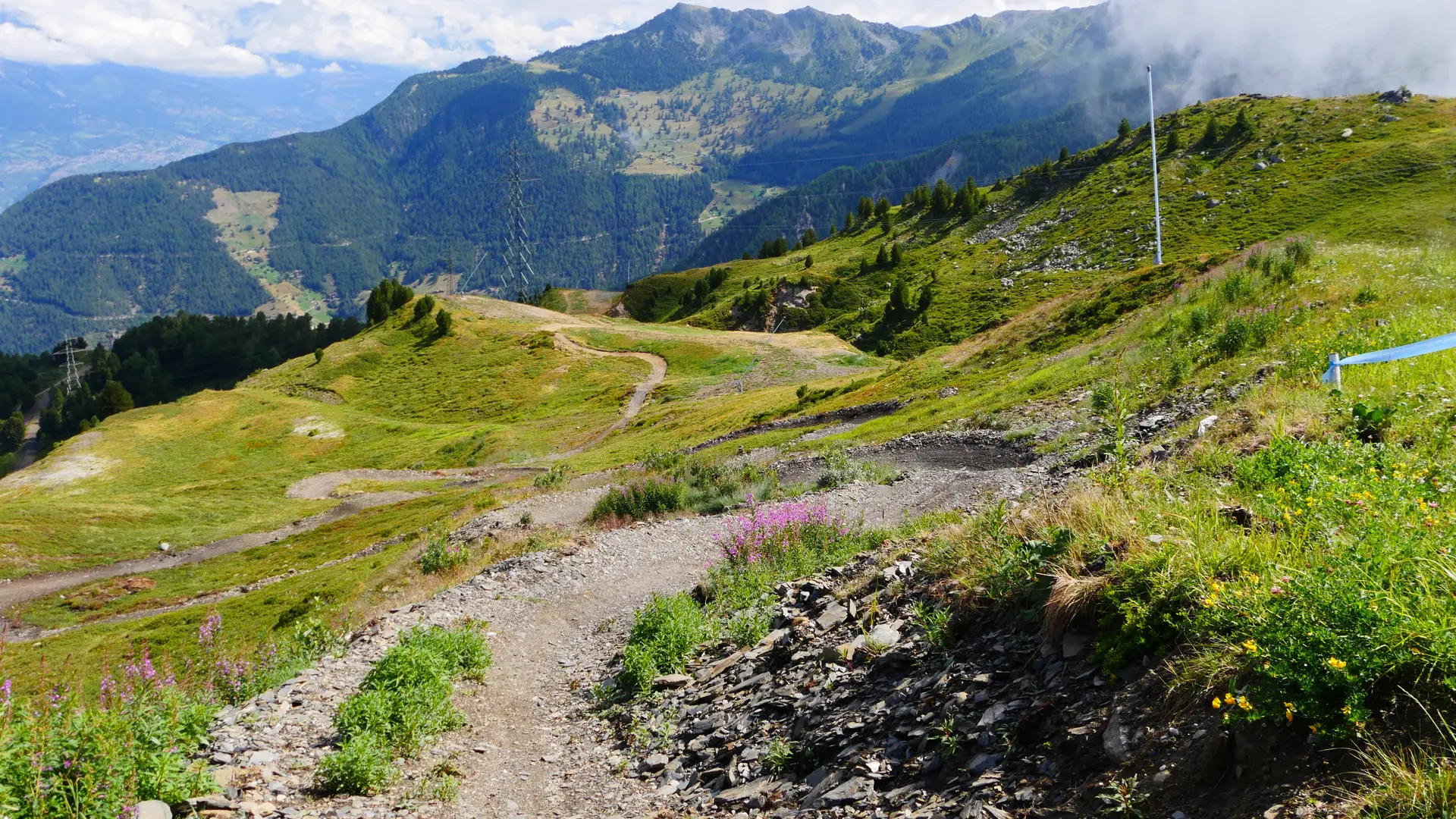
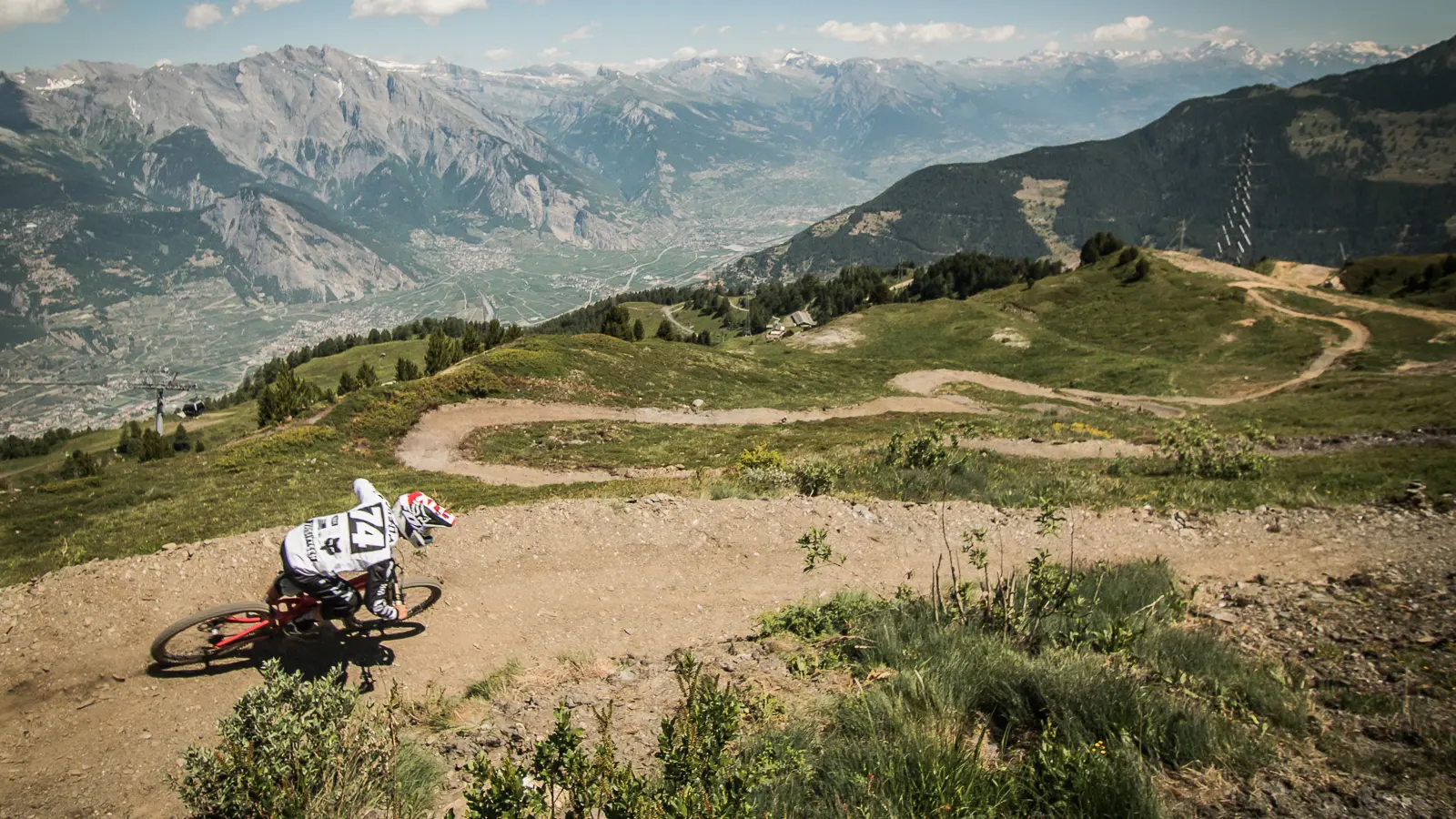
Blue trail (easy) with a few stretches of red (medium difficulty), good flow and a number of jumps.
The trail n° 8 is classified as blue (easy) with a few stretches of red (medium difficulty). It has a good flow and features a number of jumps.
Read more
Further information on localisation
Further information on localisation
The trail starts below the La Tzoumaz-Savoleyres cable car mountain station and ends at the Les Etablons intersection.
Close
Popular searches
{% label %}
Filter search
Page types
All
Articles
Agenda
Lists
Aucun résultat
/
English
Français
Deutsch
Close
×